Photos of the Windward Islands, Dutch Caribbean


Sint Eustatius, Saba and Sint Maarten
The Dutch “Bovenwindse Eilanden” (Windward Islands) are situated in the north of the arch of small islands stretching from the north coast of South America to the large Caribbean islands. To the north is Anguilla, to the south is St Kitts & Nevis, to the west are the British and US Virgin Islands. The islands are below the southeast wind and, therefore, belong to the Leeward Islands in English usage. But, compared to the other Dutch Caribbean islands (The ABC Islands), the SSS islands are above the wind, so they are called, translated from Dutch, the Windward Islands. Although the islanders speak English on the SSS islands, they retain that indication. Dutch is the official language, but education is in English, and local English-based creoles are also spoken.
you may then send it as a postcard if you wish.
 |
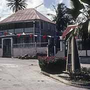
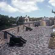
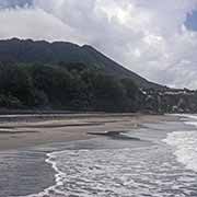
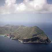
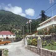
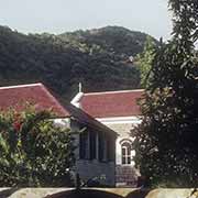
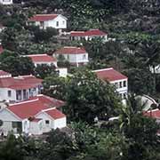
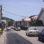
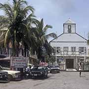
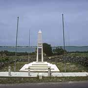
Sint Eustatius, or Statia, is a small island, 10 kilometres long and up to 5 kilometres wide, with a population of around 3,150. It has a 602-metre high dormant volcano, the Quill or Mount Mazinga. Statia is since 2010 a “special municipality” of the Netherlands. There are many pre-Columbian sites on the island, but indigenous populations died out soon after the first European (Spanish) contact in the 17th century. The island changed hands between the Dutch, English and French twenty-one times until the early 19th century and had been a free port and a centre of the slave trade in the preceding century. After 1848 slavery had been abolished except on the Dutch and Danish Caribbean islands, causing revolts. It was only abolished in 1863: the Dutch were among the last to end slavery. |
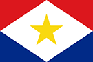 |
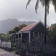
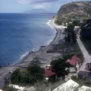
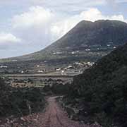
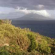
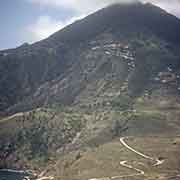
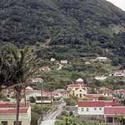
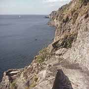
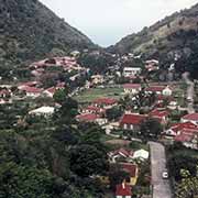
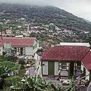
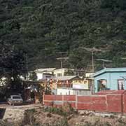
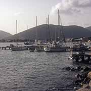
Saba is a potentially active volcano, rising from the sea, called Mount Scenery, which is, with a height of 887 metres, the highest point of the Kingdom of the Netherlands. Since 10 October 2010, Saba has been the smallest “special municipality” of the Netherlands. It is only 13 km² with almost 2,000 people, mostly descended from a small number of families who’s surnames are shared across the island. Their ancestry is a mixture of Dutch, English, African, Scottish and Irish; English is the principal language. Saba’s coast is mostly rubble and rocky cliffs, but there is a harbour and a ferry service to Sint Maarten. In 1963 the Juancho E. Yrausquin Airport, a 400-metre landing strip, was built off the northeast coast and is reputed to be the world’s shortest commercial runway, restricted to small STOL aircraft and helicopters. |
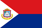 |
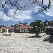
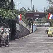
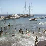
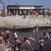
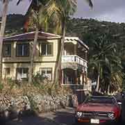
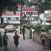
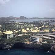
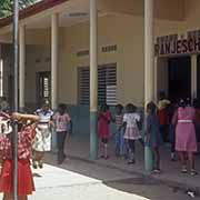
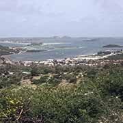
On 40% of the island it shares with the French overseas collectivity of Saint-Martin, Sint Maarten is, since 10 October 2010, a constituent country of the Kingdom of the Netherlands. Archaeological finds indicate that Amerindian people lived here as early as 2000 BCE; around 800-300 BCE, Arawak people settled here, but Carib people displaced them during 1300-1400 CE. Soon after, Europeans, initially Spanish but later others, visited the islands and the Amerindian people started dying out from diseases they had no immunity to. Since the 17th century, the island is divided into French and Dutch parts; there are no restrictions on movement between both sides. As in the other islands, the economy is heavily dependent on tourism, and English is the everyday language of communication. |